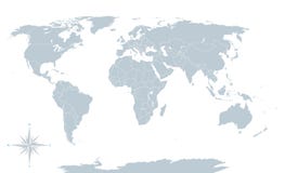
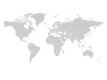
World political map. Detailed map of the world with shorelines, national borders and country names. Robinson projection, english labeling, grey illustration on white background.
CATEGORIES
Sharing is not just caring, it's also about giving credit - add this image to your page and give credit to the talented photographer who captured it.:
KEYWORDS
abstract africa america antarctica asia atlantic atlas australia background border cartography coastline continent country earth eurasia europe geography globe gray illustration island isolated landmass map national north ocean outline over pacific planet political projection robinson shore shoreline silhouette south surface white world
More images on Dreamstime


Similar Images


More images by the same author


1 week free trial. Any size, for free
Renews at $25/month, cancel or upgrade at any time
Click here for your free trial!240,482,477 images | 1,213,613 contributors | 53,271,345 total users