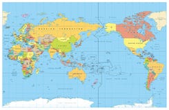
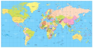
Illustration: Pacific Centred World Political Map
ID 137149738 © Pomogayev | Megapixl.com
Pacific Centred World Political Map. Countries and capitals, cities, borders and water objects, state outline. Detailed World Map vector illustration
CATEGORIES
Sharing is not just caring, it's also about giving credit - add this image to your page and give credit to the talented photographer who captured it.:
KEYWORDS
africa america asia australia background bathymetry borders business canada capitals cartography centered centred cities color colored continents countries country design detail detailed earth east europe geography globe graphic green highly illustration international isolated lake layered map new north objects ocean oceania outline pacific planet political red sea shape south state travel trip usa vector water white world yellow
More images on Dreamstime


Similar Images


More images by the same author


1 week free trial. Any size, for free
Renews at $25/month, cancel or upgrade at any time
Click here for your free trial!240,676,520 images | 1,214,081 contributors | 53,293,271 total users