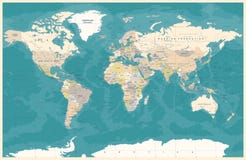
Illustration: Colored World Map. Political Map
ID 165218381 © Fourleaflover | Megapixl.com
Colored world map. Political maps, colourful world countries and country names. Geography politics map, world land atlas or planet cartography vector illustration
CATEGORIES
Sharing is not just caring, it's also about giving credit - add this image to your page and give credit to the talented photographer who captured it.:
KEYWORDS
africa america asia atlas australia blue border britain brown canada cartography china city colored coloured colourful colours continent countries country detailed earth europa geography german global green grid illustration information italy japan land map maps names navigational north planet political politics region retro river sea south spain travel vector vintage world yellow
More images on Dreamstime


Similar Images


More images by the same author


1 week free trial. Any size, for free
Renews at $25/month, cancel or upgrade at any time
Click here for your free trial!241,793,165 images | 1,217,159 contributors | 53,408,494 total users