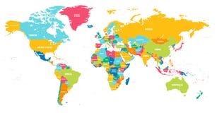
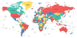
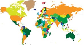
Illustration: World Map With Countries, Country And City Names
ID 56605142 © Nale | Megapixl.com
Vector illustration of a High Detail Political Map of the world with different colors for each country. Each country has its capital and major cities. All seas and major lakes are named. Global colors used. All elements are separated in editable layers.
CATEGORIES
Sharing is not just caring, it's also about giving credit - add this image to your page and give credit to the talented photographer who captured it.:
KEYWORDS
africa alaska america americas and art asia australasia border caribbean cartography central clip color continent earth east europe globe horizontal illustration illustrations image indian islands land macro map middle national north oceania pacific painting people planet rural scene sea south southeast southern state subcontinent the usa vector west world
More images on Dreamstime


Similar Images


More images by the same author


1 week free trial. Any size, for free
Renews at $25/month, cancel or upgrade at any time
Click here for your free trial!241,277,316 images | 1,215,511 contributors | 53,355,489 total users