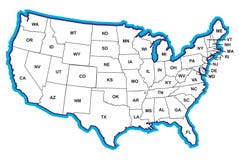
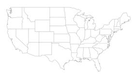
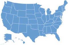
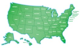
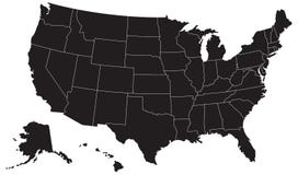
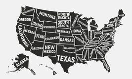
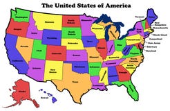
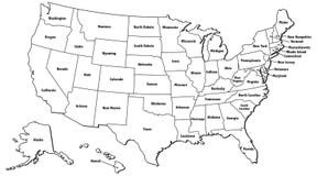
Detailed illustration of all fifty states of United States of America with major cities and state abbreviations. All states are in separate layers and can be easily changed in Adobe Illustrator additional format.
CATEGORIES
EXCLUSIVE
Sharing is not just caring, it's also about giving credit - add this image to your page and give credit to the talented photographer who captured it.:
KEYWORDS
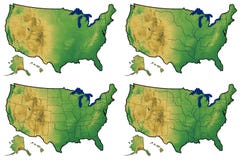
abstract america american art background big blue border boundary business cartography census chart clip collection computer continent data demographic density diagram digitally district explanation figure flag generated geographical geography government graph graphic great grow growing growth hawaii illustration image immigration infographics internet island islands lakes land locations man map montana nation national nobody north orleans painting percentage person physical populated population populousness presentation report retro rhode set state states statistical text topography travel united us usa vector visualization
More images on Dreamstime


Similar Images


More images by the same author


1 week free trial. Any size, for free
Renews at $25/month, cancel or upgrade at any time
Click here for your free trial!242,335,616 images | 1,219,193 contributors | 53,459,969 total users