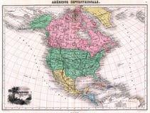
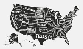
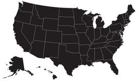
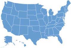
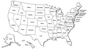
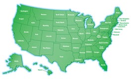
Illustration: United States Of America Political Map
ID 103453141 © Peterhermesfurian | Megapixl.com
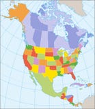
United States of America Political Map with capital Washington, national borders, most important cities, rivers and lakes. With single states, their borders and capitals, except Hawaii and Alaska. English labeling and scaling.
CATEGORIES
Sharing is not just caring, it's also about giving credit - add this image to your page and give credit to the talented photographer who captured it.:
KEYWORDS
america angeles atlanta atlas boston california chicago colorado dallas denver detroit diego erie florida francisco geography houston huron illustration lake las los map memphis miami michigan mississippi nashville new north oklahoma ontario orlando orleans philadelphia phoenix reno san seattle states superior texas the travel united usa vegas washington york
More images on Dreamstime


Similar Images


More images by the same author


1 week free trial. Any size, for free
Renews at $25/month, cancel or upgrade at any time
Click here for your free trial!239,931,584 images | 1,211,822 contributors | 53,211,979 total users