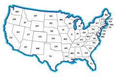
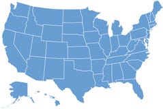
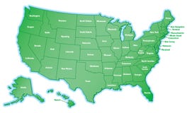
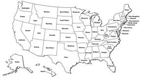
Illustration: United States, Census Regions And Divisions, Political Map
ID 178687955 © Peterhermesfurian | Megapixl.com
United States, Census regions and divisions, political map. Region definition widely used for data collection and analysis. The most commonly used classification system. English. Illustration. Vector.
CATEGORIES
Sharing is not just caring, it's also about giving credit - add this image to your page and give credit to the talented photographer who captured it.:
KEYWORDS
administrative alaska america atlantic atlas cartography census central classification colors country detailed division divisions east england english geography illustration map mapping mid midwest mountain new north northeast pacific political region regions south state states statistics system united usa vector west
More images on Dreamstime


Similar Images


More images by the same author


1 week free trial. Any size, for free
Renews at $25/month, cancel or upgrade at any time
Click here for your free trial!240,346,055 images | 1,213,208 contributors | 53,257,304 total users