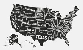
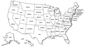
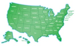
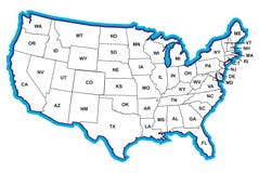
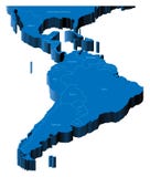
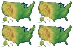
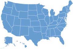
Illustration: 3D Map Of United States And Central America
ID 13604249 © Ildogesto | Megapixl.com
Map of United States, Alaska, Central America with national borders and country names. Pseudo-3d illustration.
CATEGORIES
Sharing is not just caring, it's also about giving credit - add this image to your page and give credit to the talented photographer who captured it.:
KEYWORDS
alaska america belize blue borders brazil canada cartography central colombiz communications continents countries country cuba earth graphic haiti illustration jamaica land latin map mexico name national nicaragua nobody panama peru planet salvador san shape states topography transportation travel united venezuela world
More images on Dreamstime


Similar Images


More images by the same author


1 week free trial. Any size, for free
Renews at $25/month, cancel or upgrade at any time
Click here for your free trial!240,464,119 images | 1,213,545 contributors | 53,269,515 total users