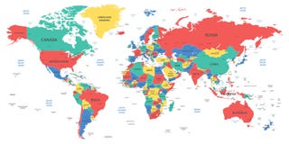
Illustration: World Map With Countries Colored From Equator
ID 11899895 © Ildogesto | Megapixl.com
Detailed world map with countries. Colored in various colors: from red on equator to deep blue near poles. Vector illustration.
CATEGORIES
Sharing is not just caring, it's also about giving credit - add this image to your page and give credit to the talented photographer who captured it.:
KEYWORDS
abstract africa america asia atlantic australia backgrounds blue border cartography china clipart continents countries country earth europe geography global globe graphic illustration india japan land map nobody ocean orange pacific planet red shape topography travel usa wallpaper world worldwide yellow
More images on Dreamstime


Similar Images


More images by the same author


1 week free trial. Any size, for free
Renews at $25/month, cancel or upgrade at any time
Click here for your free trial!241,747,904 images | 1,217,070 contributors | 53,404,042 total users