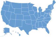
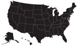
Illustration: United States And Canada Political Map
ID 279864267 © Pytyczech | Megapixl.com
United States and Canada political map of administrative divisions. Blank colorful vector map.
CATEGORIES
Sharing is not just caring, it's also about giving credit - add this image to your page and give credit to the talented photographer who captured it.:
KEYWORDS
america map canada vector alaska hawaii us usa north cartography continent nation united state territory province country land geography michigan california florida nevada illinois washington alberta american pennsylvania canadian business projection political graphic administrative states neighborhood neighbor border blue orange yellow colorful color two blank clear empty
More images on Dreamstime


Similar Images


More images by the same author


1 week free trial. Any size, for free
Renews at $25/month, cancel or upgrade at any time
Click here for your free trial!242,348,895 images | 1,219,204 contributors | 53,461,606 total users