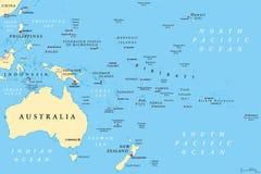
Samoa political map with capital Apia and English labeling. Independent state and island country in the Polynesian region of the Pacific Ocean. Gray illustration on white background. Vector.
CATEGORIES
Your image is downloading.
Sharing is not just caring, it's also about giving credit - add this image to your page and give credit to the talented photographer who captured it.:
More images on Dreamstime


Similar Images


More images by the same author


Special Dreamstime offer
1 week free trial. Any size, for free
Renews at $25/month, cancel or upgrade at any time
Click here for your free trial!243,082,889 images | 1,221,541 contributors | 53,527,053 total users