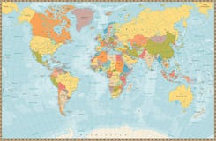
Illustration: Mediterranean Sea Region Political Map
ID 53897289 © Peterhermesfurian | Megapixl.com
Region of lands around the Mediterranean Sea. South Europe, North Africa and Near East with capitals, national borders, rivers and lakes. English labeling and scaling. Illustration.
CATEGORIES
Sharing is not just caring, it's also about giving credit - add this image to your page and give credit to the talented photographer who captured it.:
KEYWORDS
abstract adriatic aegean africa alboran asia atlas balearic basin black capital cartography coastline country cruise cyclades destination dodecanese east europe geography illustration ionian island islands land ligurian maghreb map mediterranea mediterranean near north political region sea travel tyrrhenian western
More images on Dreamstime


Similar Images


More images by the same author


1 week free trial. Any size, for free
Renews at $25/month, cancel or upgrade at any time
Click here for your free trial!240,835,475 images | 1,214,592 contributors | 53,309,929 total users