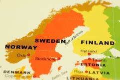
Finland map designed in illustration with the 20 regions colored in bright colors and with the main cities. Neighbouring countries are in an additional format (.AI) in the latent layer.
CATEGORIES
EXCLUSIVE
Your image is downloading.
Sharing is not just caring, it's also about giving credit - add this image to your page and give credit to the talented photographer who captured it.:
More images on Dreamstime


Similar Images


More images by the same author


Special Dreamstime offer
1 week free trial. Any size, for free
Renews at $25/month, cancel or upgrade at any time
Click here for your free trial!240,679,638 images | 1,214,081 contributors | 53,293,947 total users