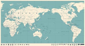
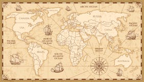
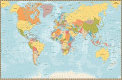
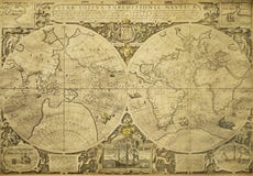
Illustration: Vintage World Map. Retro Countries Boundaries On Topographic Or Marine Map. Old Continents Navigation Maps Vector
ID 129417767 © Tartilastock | Megapixl.com
Vintage world map. Retro countries boundaries on topographic or marine map. Old navigation physical map with continents and oceans vector illustration
CATEGORIES
Sharing is not just caring, it's also about giving credit - add this image to your page and give credit to the talented photographer who captured it.:
KEYWORDS
abstract africa america americas antique asia australia background brown canada cartography china city color continent continents country design detailed earth europe geography global globe golden grid illustration italy japan land map north ocean oceania old planet retro sea topography travel usa vector vintage world yellow
More images on Dreamstime


Similar Images


More images by the same author


1 week free trial. Any size, for free
Renews at $25/month, cancel or upgrade at any time
Click here for your free trial!240,491,162 images | 1,213,664 contributors | 53,272,601 total users