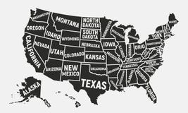
Illustration: United States, Longest Rivers And Largest Lakes, Political Map
ID 271442273 © Peterhermesfurian | Megapixl.com
United States,rivers and lakes,political map. The main stems of the longest rivers,and the largest lakes of the United States of America,with the Great Lakes of North America. Illustration. Vector
CATEGORIES
Sharing is not just caring, it's also about giving credit - add this image to your page and give credit to the talented photographer who captured it.:
KEYWORDS
united states lakes rivers united america great map usa north u s alaska hawaii gulf mexico pacific atlantic ocean canada continent state lake michigan superior huron erie ontario salt lake yukon missouri mississippi rio grande colorado arkansas columbia red river snake brazos canadian americas country largest longest main stem geography cartography mapping atlas vector
More images on Dreamstime


Similar Images


More images by the same author


1 week free trial. Any size, for free
Renews at $25/month, cancel or upgrade at any time
Click here for your free trial!243,118,566 images | 1,221,580 contributors | 53,530,144 total users