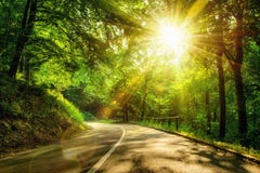
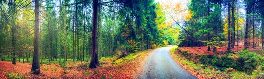
Road in the forest, europe, serbia, serbian, 2014, wood, tree, autumn, green, sky, leaf, rag, plaice, Carska Bara is located 17 kilometers south of the town of Zrenjanin, in the west-central part of the Serbian section of Banat, near the mouth of the river Begej into the Tisa. The southern border is bounded by the final, navigable section of the Begej before it empties into the Tisa followed by the Belgrade-Zrenjanin road, while to the north are the vast EÄka fishponds, the largest in Serbia. Entire bog belongs to the municipality of Zrenjanin. Even though it is located in the triangle of large cities Belgrade-Novi Sad-Zrenjanin largest cities in Serbia, Vojvodina and Serbian Banat, respectively, all settlements in the vicinity of Carska bara are smaller ones, ranging from 1,500 to 6,000 inhabitants. The closest settlements are Perlez, in southern corner, on the Begej, and Belo Blato, east of the bog, on the southern shore of EÄka fishpond. Town of Titel is right across the bridge on the Tisa. Gallery of the painting colony of `EÄka` is located on the northern tip of the bog. Human history in the area surrounding Carska bara goes back to 4,000 years BC, with uncovered mounds near Mužlja Batka and Titel Kalvarija. According to legend, the bog carska bara, Serbian for `imperial bog`, was named after Attila, king of the Huns,but other sources claim that the bog was named that way because of the Austrian emperors which used to hunt in the area.
CATEGORIES
Your image is downloading.
Sharing is not just caring, it's also about giving credit - add this image to your page and give credit to the talented photographer who captured it.:
More images on Dreamstime


Similar Images


More images by the same author


Special Dreamstime offer
1 week free trial. Any size, for free
Renews at $25/month, cancel or upgrade at any time
Click here for your free trial!242,896,553 images | 1,220,998 contributors | 53,509,752 total users