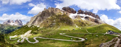
Stock Photo: Frozen Suraj Lake On Leh-Ladakh Highway Scene
ID 41640238 © Vectorbolt | Megapixl.com
Suraj Tal or Suraj Tal Lake also called Surya taal, is a sacred body of water, literally means the Lake of the Sun God, and lies just below the Bara-lacha-la pass (4,890m) (8 km (5.0 mi) in length) in the Lahaul and Spiti valley of Himachal Pradesh state in India and is the third highest lake in India, and the 21st-highest in the world. Suraj Tal Lake is the source of Bhaga River which joins the Chandra River downstream at Tandi to form the Chandrabhaga River in Himachal Pradesh territory, and as it enters Jammu and Kashmir it is renamed as the Chenab River. The Bhaga River (a tributary of the Chandrabhaga or Chenab) originates from Surya taal. The other major tributary of the Chandrabhaga, the Chandra originates from the glacier close to the Chandra Taal lake in the Spiti district. The Leh–Manali Highway is a highway in northern India connecting Leh in Ladakh in Jammu and Kashmir state and Manali in Himachal Pradesh state. The average elevation of Leh-Manali highway is more than 4,000 m (13,000 feet) and its highest elevation is 5,328 m (17,480 ft) at Tanglang La mountain pass.
CATEGORIES
Sharing is not just caring, it's also about giving credit - add this image to your page and give credit to the talented photographer who captured it.:
KEYWORDS
action adventure and asia backpacker blue cloud cloudscape dirt freezed frozen glacier green high hiking himachal himalayas ice india jammu journey kashmir ladakh lake landscape leh motor mountain nature non outdoors peak people photography range road rock scene scenics scooter sky snow snowfall stationary steep stone suraj tourist travel traveling urban vacations valley village water
More images on Dreamstime


Similar Images


Latest images


1 week free trial. Any size, for free
Renews at $25/month, cancel or upgrade at any time
Click here for your free trial!240,683,980 images | 1,214,081 contributors | 53,294,807 total users