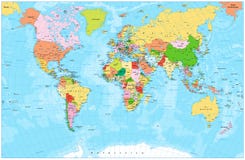
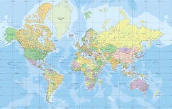
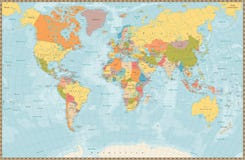
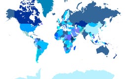
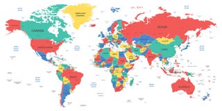
Detailed Vector World Map. Layers objects (groups): continents, countries, names of countries, capitals, cites, water resources, meridians. Convenient editing of primary colors. ZIP: eps8 file - meridians in lines. Base map generated using map data from the public domain. - The url of the reference file is : - Software: Xara Designer Pro - Creation date: January, 2012. - Layers of Data Used: Outlines
CATEGORIES
Your image is downloading.
Sharing is not just caring, it's also about giving credit - add this image to your page and give credit to the talented photographer who captured it.:
More images on Dreamstime


Similar Images


More images by the same author


Special Dreamstime offer
1 week free trial. Any size, for free
Renews at $25/month, cancel or upgrade at any time
Click here for your free trial!240,597,102 images | 1,213,956 contributors | 53,284,223 total users