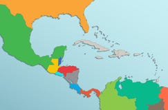
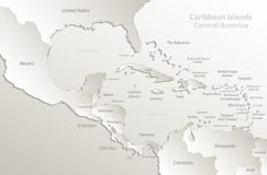
Illustration: Caribbean Islands Central America Map, New Political Detailed Map, Separate Individual States, With State Names, Isolated On White
ID 139874988 © Mondih | Megapixl.com
Caribbean islands Central America map, new political detailed map, separate individual states, with state names, isolated on white background 3D blank vector
CATEGORIES
Sharing is not just caring, it's also about giving credit - add this image to your page and give credit to the talented photographer who captured it.:
KEYWORDS
america american atlas background bahamas belize blank blue caribbean central color colored colorful colors continent costa country cuba detailed dominican earth florida green guatemala haiti honduras individual island islands isolated jamaica map martinique mexico names new nicaragua orange outline panama political province puerto raster region republic rica rico salvador separate state states travel vector wall white world yellow
More images on Dreamstime


Similar Images


More images by the same author


1 week free trial. Any size, for free
Renews at $25/month, cancel or upgrade at any time
Click here for your free trial!241,940,574 images | 1,217,540 contributors | 53,424,077 total users