Search results
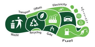
Illustration: Carbon Footprint In The Form Of A Map, With Hotspots Showing Where The Most Carbon Dioxide Is Being Released
ID 275644182 © Altitudevs | Megapixl.com
carbon footprint in the form of a map, with hotspots showing where the most carbon dioxide is being released, created with generative ai
CATEGORIES
Your image is downloading.
Sharing is not just caring, it's also about giving credit - add this image to your page and give credit to the talented photographer who captured it.:
More images on Dreamstime


Similar Images


More images by the same author


Special Dreamstime offer
1 week free trial. Any size, for free
Renews at $25/month, cancel or upgrade at any time
Click here for your free trial!242,446,571 images | 1,219,555 contributors | 53,471,004 total users