Stock Photo: Smart Agriculture Concept, Farmer Use Infrared In Drone With High Definition Soil Mapping While Planting,Conduct Deep Soil Scan D
ID 102927849 © Ekkasit919 | Megapixl.com
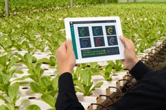
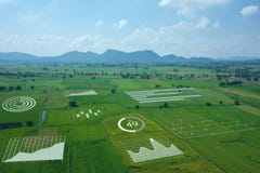
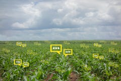
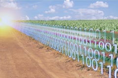
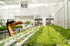
Smart agriculture concept, farmer use infrared in drone with high definition soil mapping while planting,conduct deep soil scan during a tillage pass include organic, ec, om, Nitrogen,seed rate
CATEGORIES
Sharing is not just caring, it's also about giving credit - add this image to your page and give credit to the talented photographer who captured it.:
KEYWORDS
aerial agricultural agriculture agronomy business computer concept control cultivate data digital drone dust environment equipment farm farmer farming field food green growing harrow industry internet land landscape machine machinery measuring modern monitor monitoring natural nature plant plow preparation radiation radioactivity sensor smart soil sowing sunset tablet technology vehicle view wireless
More images on Dreamstime


Similar Images


More images by the same author


1 week free trial. Any size, for free
Renews at $25/month, cancel or upgrade at any time
Click here for your free trial!240,430,020 images | 1,213,473 contributors | 53,265,589 total users