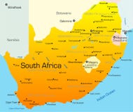
Illustration: Political Map Of South Africa
ID 13367679 © Bogdanserban | Megapixl.com
South Africa political map with provincial boundaries-Host of Football World Cup 2010
CATEGORIES
Sharing is not just caring, it's also about giving credit - add this image to your page and give credit to the talented photographer who captured it.:
KEYWORDS
abstract africa african area art atlantic atlas background black border botswana central colored complete continent country cup design detailed earth eastern emblem football geographic geography global hand illustration indian lesotho map namibia ocean orange political pretoria sahara sign silhouette soccer south swaziland transportation travel united wallpaper western world
More images on Dreamstime


Similar Images


More images by the same author


1 week free trial. Any size, for free
Renews at $25/month, cancel or upgrade at any time
Click here for your free trial!239,878,660 images | 1,211,615 contributors | 53,205,434 total users