Illustration: North Carolina State Interstate Map
ID 12046114 © Suwanneeredhead | Megapixl.com
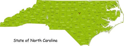
North Carolina state road map with Interstates, U.S. Highways and state roads. All elements on separate layers (Fill, Roads, Cities, Outline) for easy editing. Map created December 3, 2009. ZIP File contains EPS-8 Adobe Illustrator file, Illustrator CS3 file, and large JPG file, 6806x3120. Source: Public domain National Planning Network ( and United States
CATEGORIES
Sharing is not just caring, it's also about giving credit - add this image to your page and give credit to the talented photographer who captured it.:
KEYWORDS
america atlantic atlas banks capital carolina charlotte city coastal destination detail drawing durham editable guide hawk hickory highways illustration interstate kitty map mileage municipality north ocean outer place plan raleigh roads salem state town transportation travel trip united usa winston
More images on Dreamstime


Similar Images


More images by the same author


1 week free trial. Any size, for free
Renews at $25/month, cancel or upgrade at any time
Click here for your free trial!240,391,700 images | 1,213,383 contributors | 53,262,322 total users