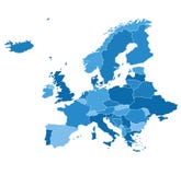
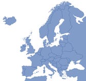
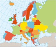
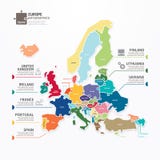
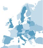
A map of Europe with all country names, and country capital cities. Organised in vector version in easy to use layers. Colors and strokes also easily changed. Layers include: Keys, country names, capital city markers, capital city names, longitude and latitude lines and more for easy customisation.
CATEGORIES
Sharing is not just caring, it's also about giving credit - add this image to your page and give credit to the talented photographer who captured it.:
KEYWORDS
all background border capitals cartography cities city color continent country design detailed earth eroupe euorpe europ europa europe european europes euroupe eurpe eurpoe france geography graphic icon illustration including info infographic land layers map names nation national new political set sign silhouette symbol text travel union united vector world
More images on Dreamstime


Similar Images


More images by the same author


1 week free trial. Any size, for free
Renews at $25/month, cancel or upgrade at any time
Click here for your free trial!240,460,112 images | 1,213,544 contributors | 53,268,710 total users